Activities
The Middle Height
The Black Isle is a bit of misnomer, in that it is neither black nor an island. There are many ideas about the origin of this name, but what we do know is that the old name for the Black Isle was Ardmeanach, which means ‘ the middle height’.
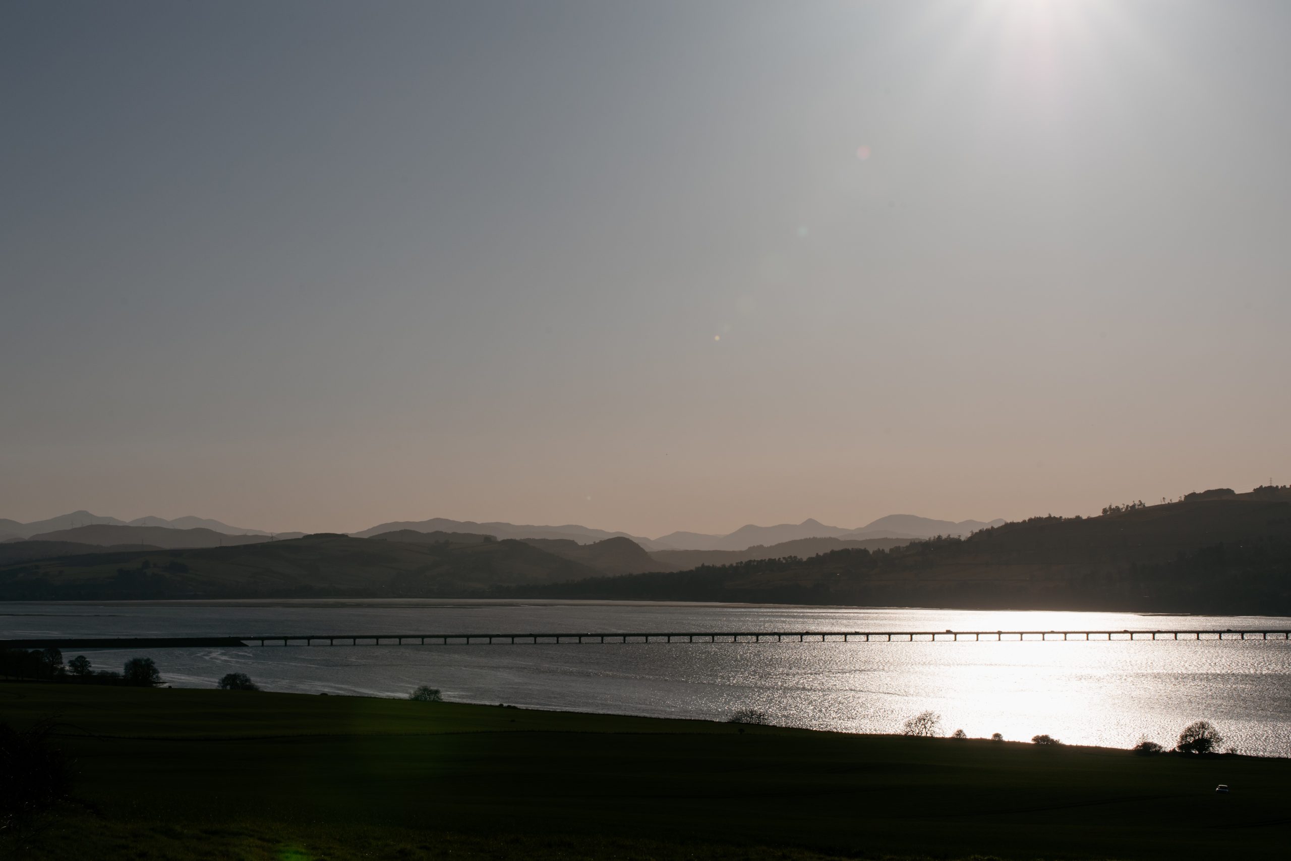
Although located in the Highlands, it seems much more lowland in character. Its rich and fertile land make it an important agricultural area, supplying many of the local whisky distilleries with barley. It is a peninsula approximately 16 miles in length, and bounded by the Cromarty Firth in the north and the Beauly and Inverness Firths in the south. Being low and mostly surrounded by sea, the Black Isle has a mild and benign climate, with a low annual rainfall making it one of the drier parts of Scotland.
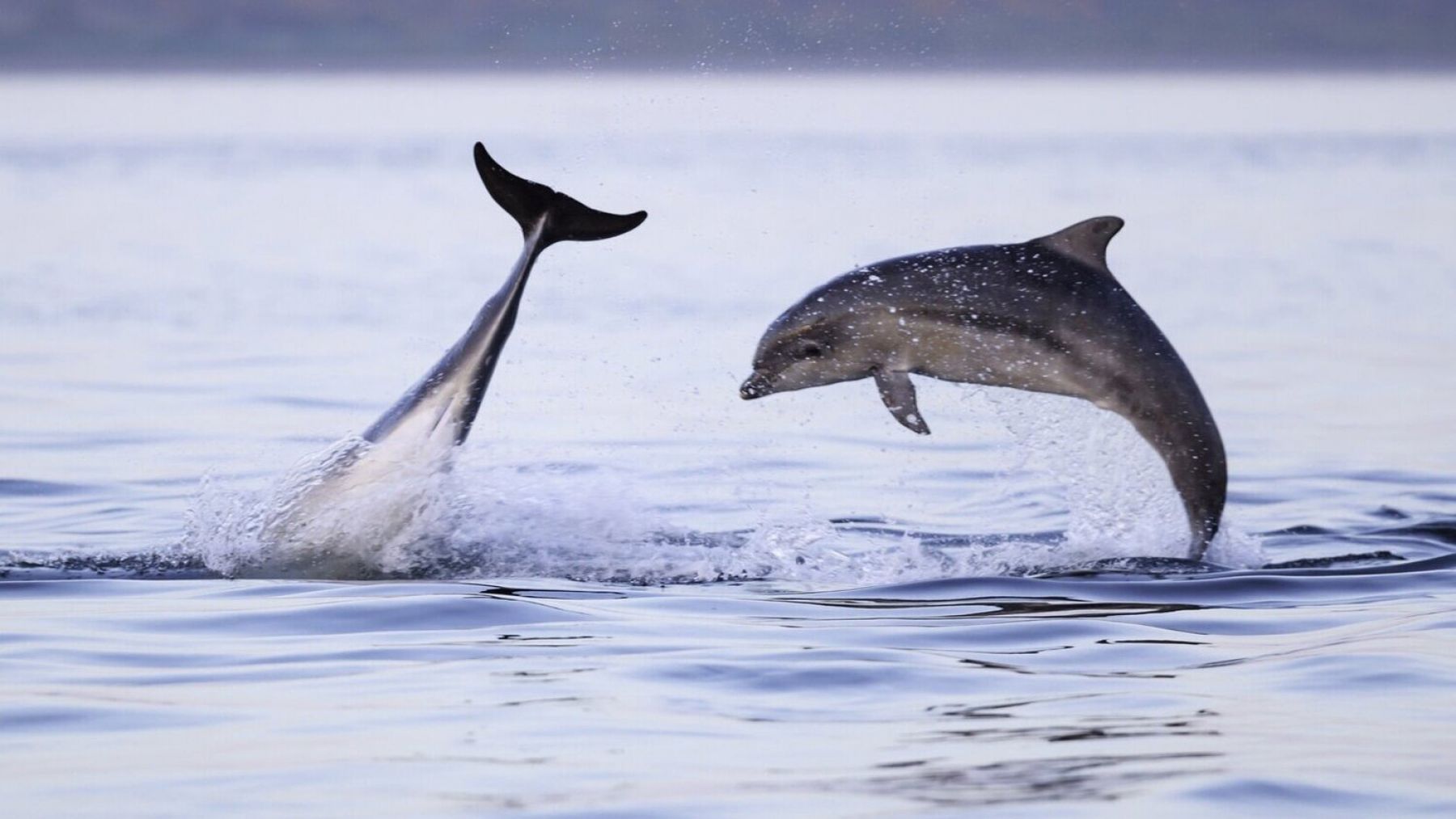
Cromarty, a beautiful 18th century harbour town, with elegant sandstone ‘merchant’ houses, is the nearest town to Newhall Mains. In its heyday in the early 19th century, it was bustling with activity: fishing, sail making, hemp rope making, creel making. During the First World War, the Cromarty Firth’s natural deep water anchorage was full of British military installations, and anti-submarine net and boom defences stretched between the two headlands, the North and South Sutors. The Moray Firth abounds with bottlenose dolphins and these can be viewed from Chanonry Point, near Fortrose, where the tide-race gap between the point and Fort George on the other side of the sea is only just over half a mile wide. In winter, huge numbers of wildfowl and waders congregate to feed in nearby Udale Bay.
Activities Guide
Sea Trips & Wildlife Watching
Cruise along the Cromarty coast and out to the North Sea aboard our private RIB, built for close-up wildlife encounters with bottlenose dolphins, basking sharks, pilot whales, sea birds, and seals. We can also organise picnics and BBQs on remote beaches which are best accessed by boat, and you’ll quite often have the entire shoreline all to yourself.
Boat charter starts from £590 for up to 6 passengers.
Flying Experiences
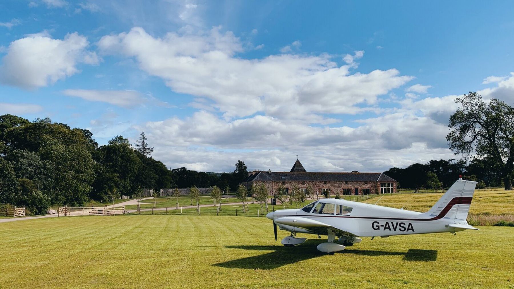
See the Scottish Highlands from the sky on a trial flight, taking off from and landing on our private airfield in a light aircraft. You can be in the air between 30 minutes and 2.5 hours, winging over natural beauty spots like Loch Ness, Ben Nevis, the West Coast, and Skye’s chiselled cliffs, plus landmarks like the Glenfinnan Viaduct (made famous by Harry Potter’s Hogwarts Express).
Scenic flights start from £384 for up to three passengers.
Guided Tours
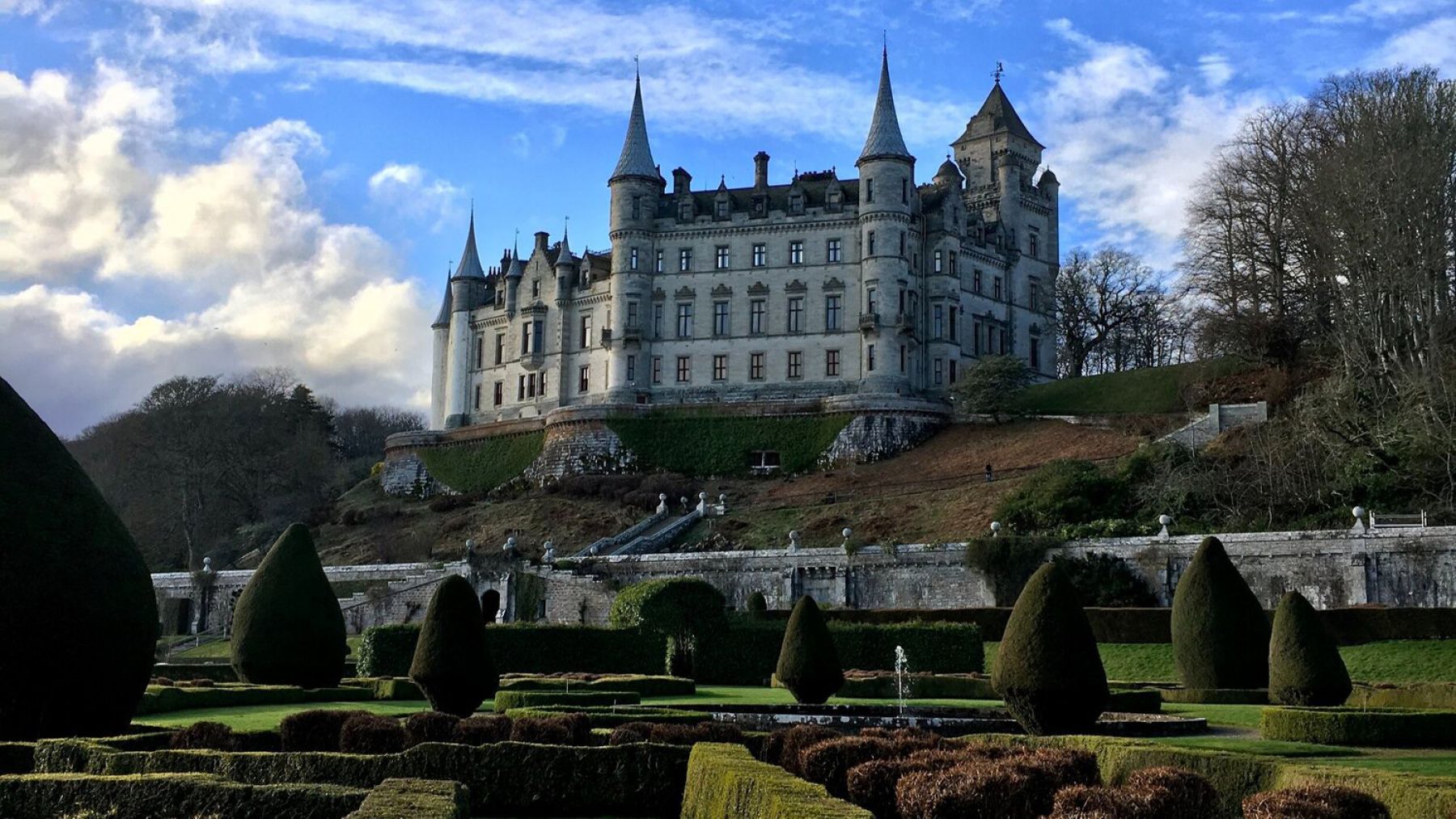
Venture into the heart of the Highlands, up to the Northlands, or over to the Isle of Skye with our in-house guide and experienced driver. Our itineraries are designed as full day trips, and you’ll need to set aside up to 11 hours for the most immersive, off-trail adventures. The routes vary and can be weather dependent, but might see you step back in time on Culloden Battlefield, discover the Highland heritage of Cawdor, Dunrobin and Eilean Donan castles, spot seals and sirens across the Cromarty Firth, take a whisky tour in one of Scotland’s oldest distilleries, and soak up the coastal beauty of old fishing villages along the way.
Tours are priced at £70 an hour for two guests, and bespoke itineraries are available on request.
Whisky Tasting and Mixology
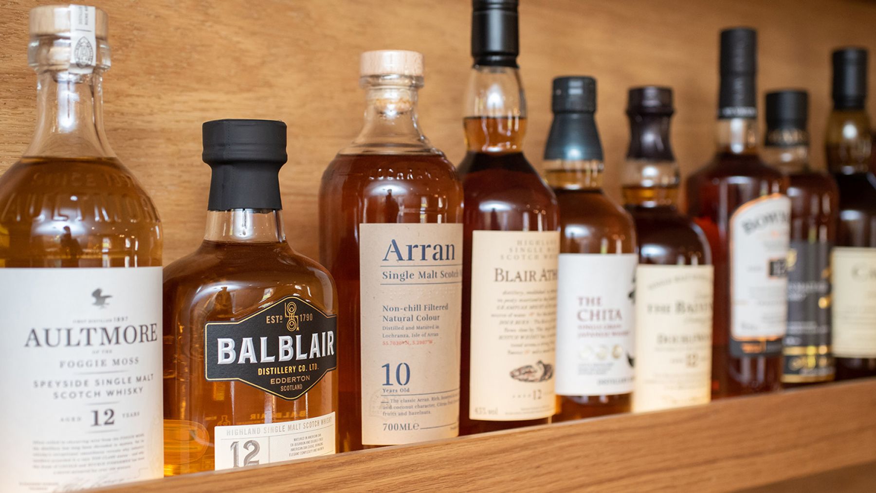
Join us in our intimate bar, which is inspired by the sophisticated settings of Tokyo’s Ginza district and stocked with premium Highland whisky labels, Japanese single malts, and just about everything you need to craft the perfect cocktail.
Whisky tastings are £35 per person, and cocktail masterclasses are £40 per person. Kindly give our bar team at least 12 hours notice when booking with reception.
Sauna
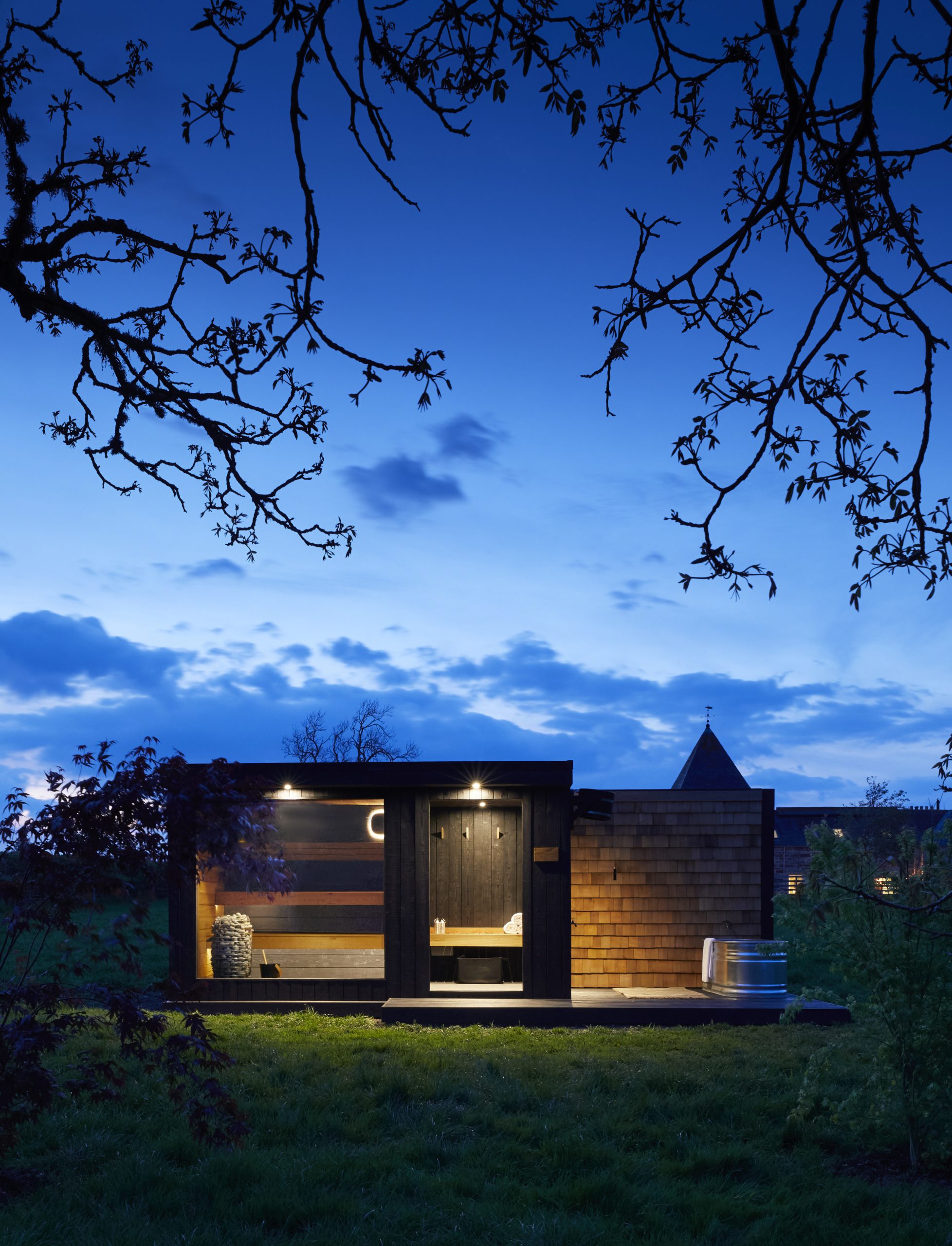
Our six-seater sauna is available for exclusive use if you’d like to book a complimentary one-hour slot at reception. You’ll find our in-the-wild wellness area in the field just past Red Gates, down by the old walnut tree. There’s decking to unwind on when the sun’s out, and a cold plunge pool if you’re into Nordic bathing rituals.
E-Bikes
With its quiet country lanes, forest tracks and criss-crossing coastal trails, the Black Isle is ideal for cyclists, whatever your fitness level. There are purpose-built mountain bike trails through the forest at Learnie Red Rocks, or you can pedal along the shore road from North Kessock to Redcastle past medieval fish traps and a Pictish crannog. Don’t hesitate to ask us for our favourite routes or advice on using the hotel’s free-to-borrow e-bicycles.
Croquet
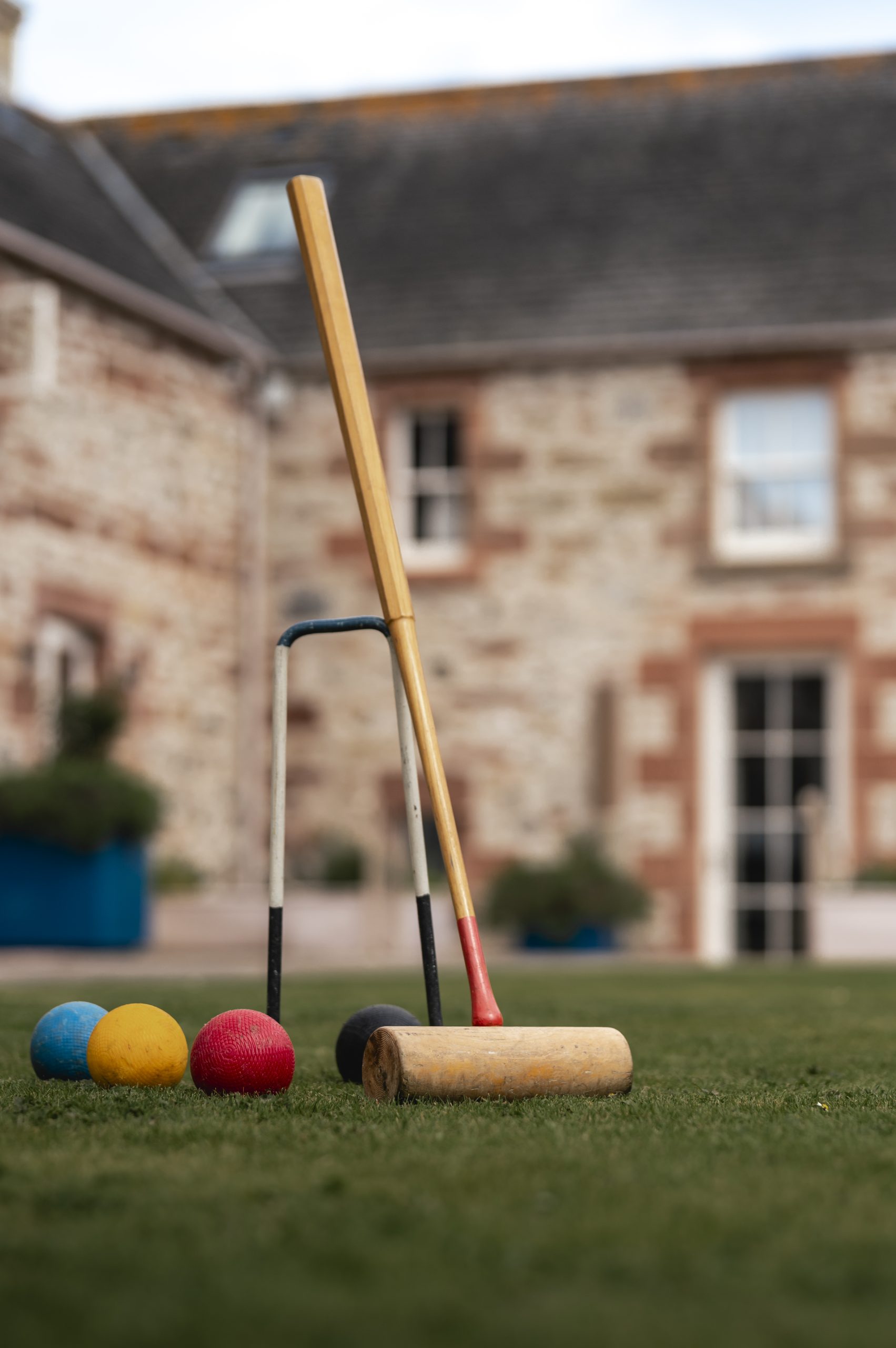
At the heart of our old farmstead, our parasol-flanked courtyard is enjoying new life as a summer croquet lawn. Mallets, hoops, and wooden balls are readily available, and our team can give any beginners a run-down of the rules.
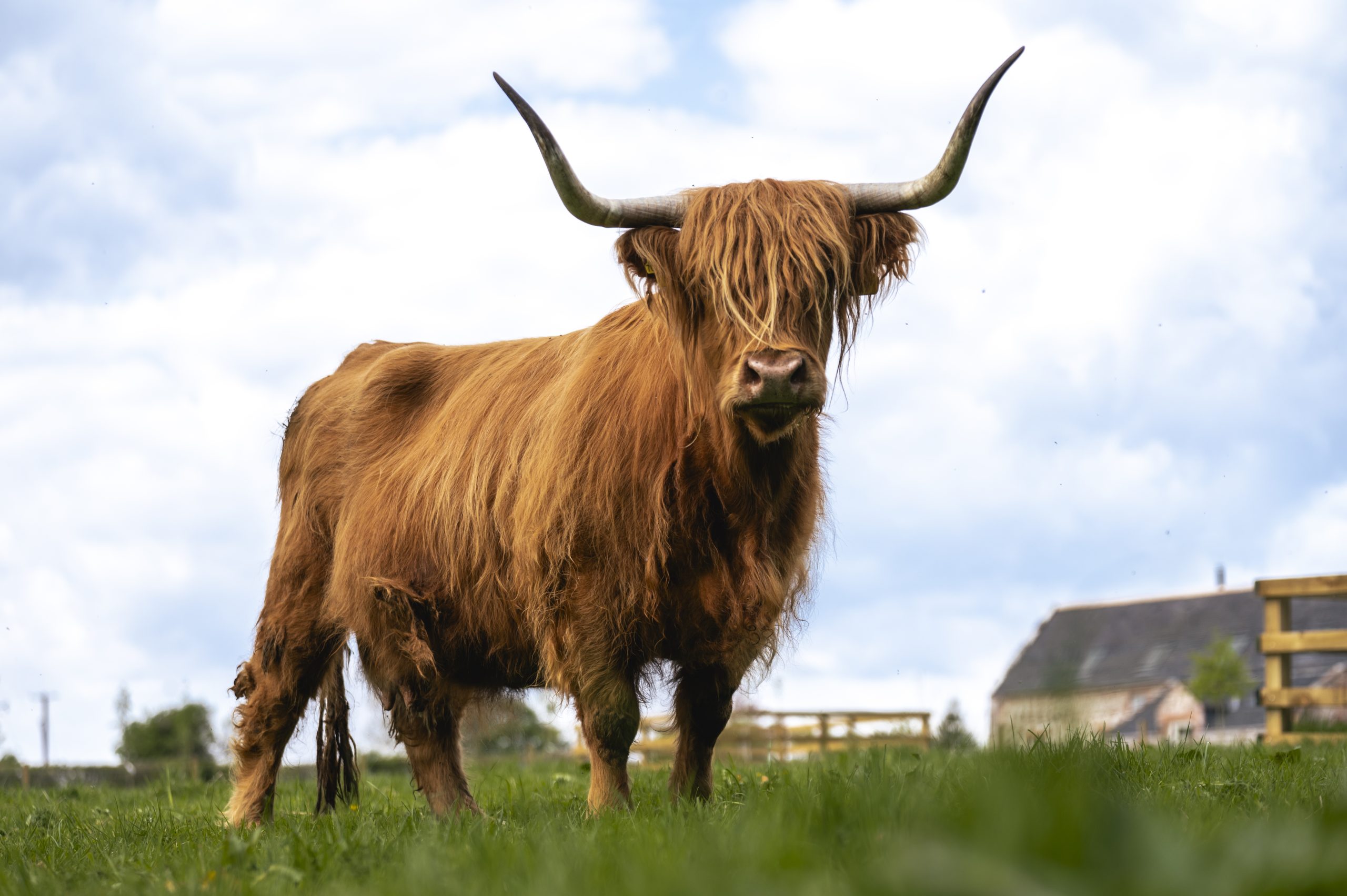
Highland Coos
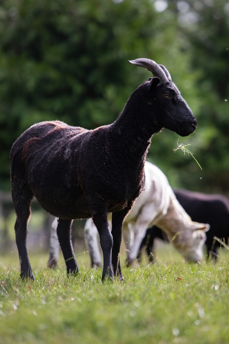
We’re happy to introduce you to our lovely Highland cows and Jacob sheep (you’ll notice their Y-shaped horns in our logo, and their wool is spun into the rugs and blankets dotted around your cottage).
